Travel guide · 6 min read · first written June 2024, updated 2026-09-30
Discover the Dazzling Dubai
Dubai, frame by frame
A drive through the city in 27 frames: from the Creek where Dubai began, past the tallest tower on earth, along the coast and out to the islands, to the desert where the city ends.
Everyone has heard of Dubai. To some it means glamour; to others, the opposite. For most it is a line on a bucket list, a city to see once in a lifetime. Stay a little longer, and it becomes more than that.
Many who arrive as visitors stay on as residents. The city mixes the new with the old, luxury with heritage, a hundred kitchens with a long, bright coastline, and people from around 200 nationalities call it home.
So here it is the way I would show it to a friend: a drive, frame by frame. Each chapter opens on its part of the map, and every place is marked where it stands.
Chapter I: Where Dubai began
Boats, souks and wind towers: the city before the skyline.
01. Dubai Creek and the abras
Historic waterway · Deira and Bur Dubai · 25.2647° N, 55.2930° E
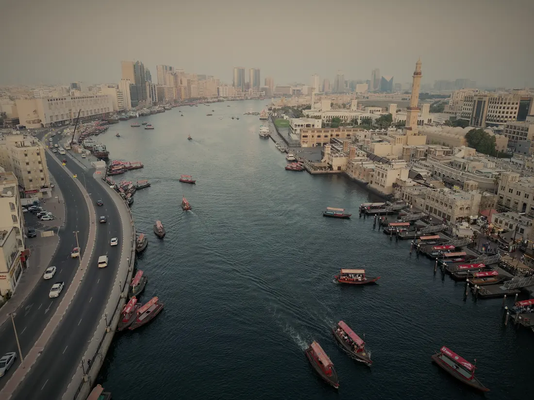
Dubai Creek is a natural seawater inlet that divides the old city into Deira and Bur Dubai. An abra, the traditional wooden boat, still carries people across it, and the ride is the oldest view in town.
Good to know: The crossing costs AED 1, and boats leave every few minutes from early morning.
02. The souks
Traditional markets · Deira and Bur Dubai · 25.2701° N, 55.2981° E
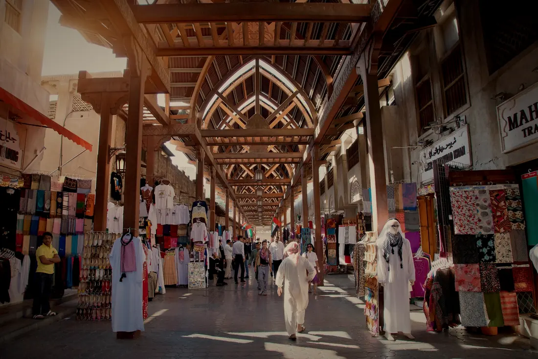
On either side of the Creek, the old markets keep Dubai’s trading heritage alive: fabric under the wooden arches of Bur Dubai’s Old Souk, and across the water the Gold Souk and the Spice Souk, jewellery in one lane and saffron in the next.
Good to know: An AED 1 abra links Bur Dubai’s Old Souk with the souks of Deira.
03. Al Fahidi
Historic neighbourhood · Bur Dubai · 25.2642° N, 55.3002° E
Also known as Al Bastakiya, this restored quarter shows Dubai as it was: wind towers, narrow lanes, courtyard houses, galleries and cafés. At its edge stands Al Fahidi Fort, built in 1787, the oldest building in the city.
Closed for now: The fort and its Dubai Museum have been closed for restoration since 2021; Dubai Culture says they reopen soon, with new galleries.
Good to know: The lanes, galleries and small museums of the quarter are free to wander.
04. Al Seef
Creekside promenade · Bur Dubai · 25.2639° N, 55.3040° E
Al Seef blends traditional Emirati architecture with modern shops, cafés and restaurants along the Creek, on a promenade made for slow evening walks.
Good to know: Free to visit, with a heritage side and a modern side, and abra and metro stations close by.
05. A dhow cruise
Evening cruise · The Creek, the Marina and the Canal · 25.2605° N, 55.3125° E
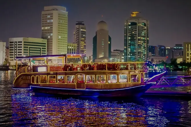
A traditional wooden dhow, strung with lights, carries dinner cruises along the Creek, the Marina and the Water Canal, with the skyline sliding past the windows.
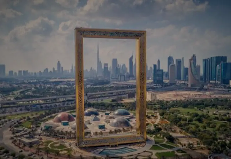
06. Dubai Frame
Architectural landmark · Zabeel Park · 25.2355° N, 55.3004° E
A 150-metre picture frame in gold, standing between two Dubais: old Deira and Bur Dubai on one side, the towers of the new city on the other. A glass-floored Sky Deck crosses the top.
Good to know: Open 8am to 9pm daily; the entrance is at Zabeel Park Gate 4.
07. Ras Al Khor Wildlife Sanctuary
Nature reserve · The head of the Creek · 25.1929° N, 55.3258° E
A protected wetland where the Creek ends, known for its flamingos and hundreds of other birds, with the towers of the city on the horizon.
Closed for now: Closed to visitors since July 2025 while the sanctuary is developed; the first phase is due by the end of 2026.
Chapter II: The vertical city
Downtown, where Dubai reaches up.
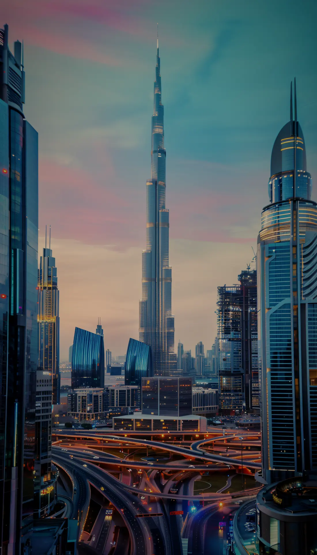
08. Burj Khalifa
Architectural marvel · Downtown Dubai · 25.1970° N, 55.2741° E
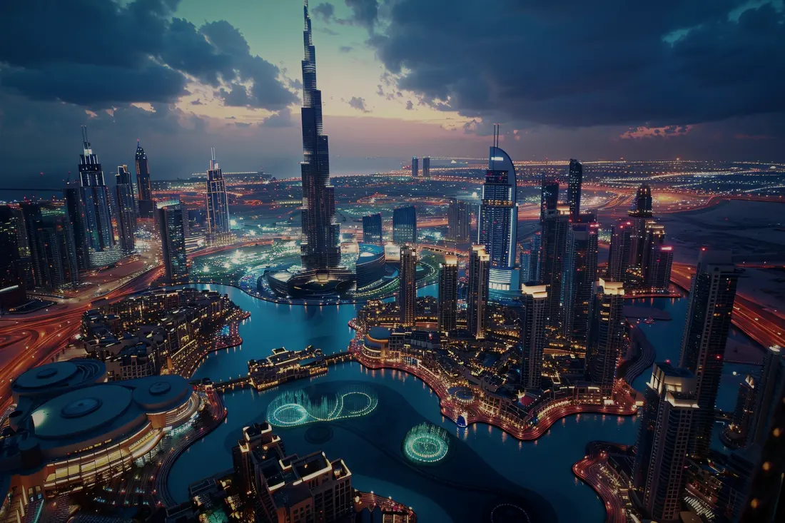
At 828 metres, the Burj Khalifa is the world’s tallest building and the clearest statement of Dubai’s ambition. At the Top, on levels 124 and 125, looks down on the whole city; At the Top SKY climbs to level 148.
Good to know: Tickets are for a set time, so book online before you go.
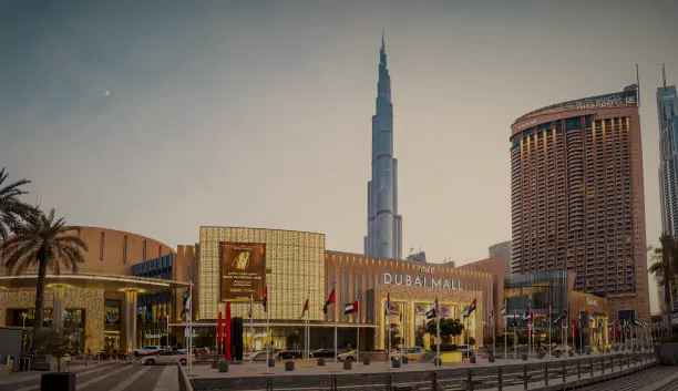
09. The Dubai Mall
Shopping · Downtown Dubai · 25.1970° N, 55.2790° E
One of the largest shopping malls in the world, with more than 1,200 shops, an ice rink, an aquarium, and the Dubai Fountain at its door.
Good to know: Open 10am to midnight every day.
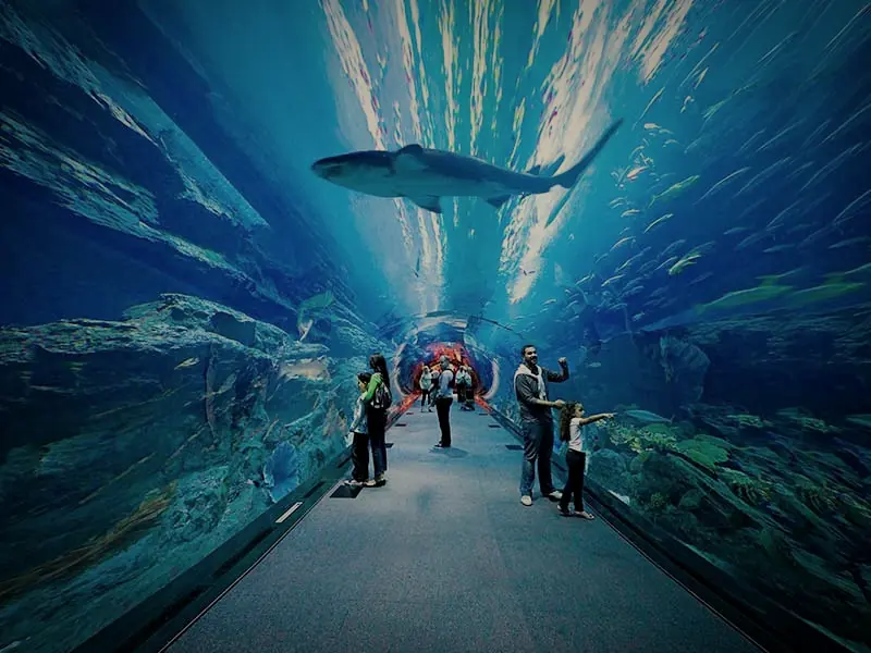
10. Dubai Aquarium and Underwater Zoo
Aquatic wonder · The Dubai Mall · 25.1976° N, 55.2793° E
One of the world’s largest indoor aquariums: a 10-million-litre tank you can see from the mall floor, and a tunnel that walks you under sharks and rays.
Good to know: Open every day until 9pm; last entry 8:15pm.
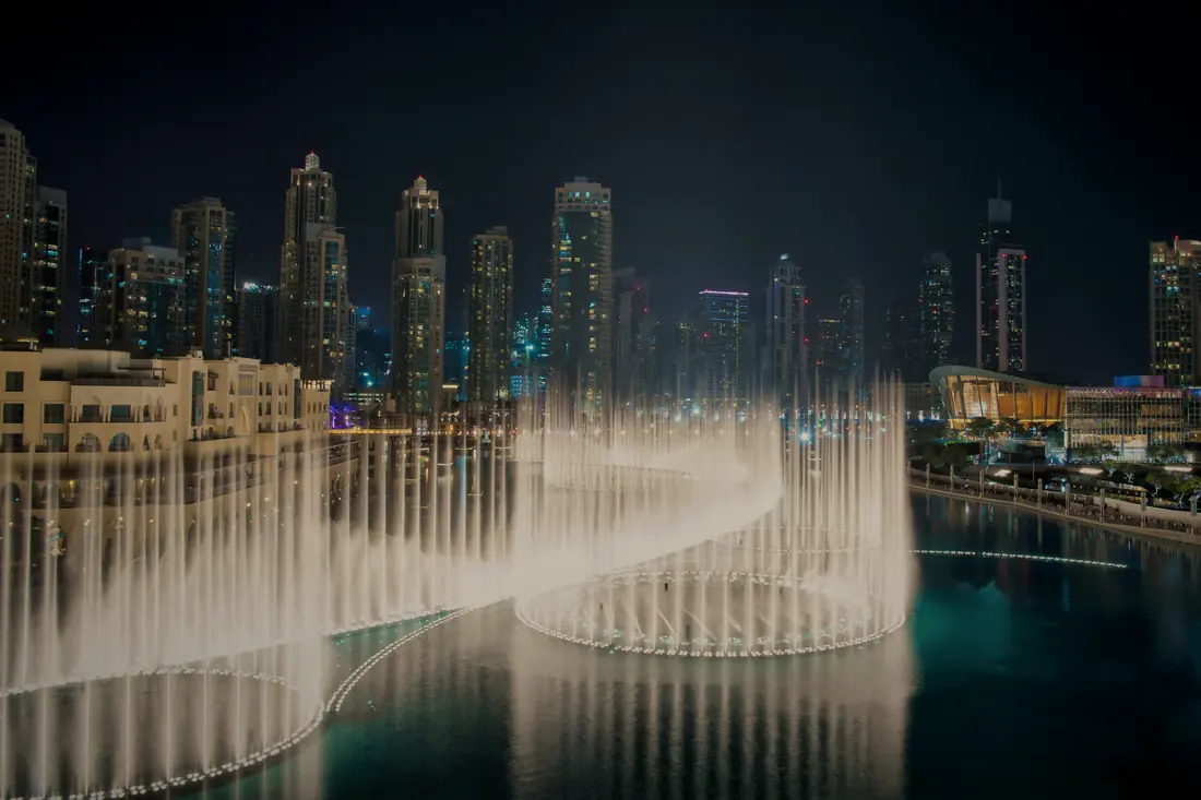
11. The Dubai Fountain
Water and light · Burj Khalifa Lake · 25.1954° N, 55.2753° E
On the lake below the Burj Khalifa, one of the world’s largest choreographed fountains throws water up to 152 metres, to music and light. It reopened in October 2025 with new lighting, sound and choreography.
Good to know: The shows are free: at lunchtime, then every 30 minutes from 6pm to 11pm.
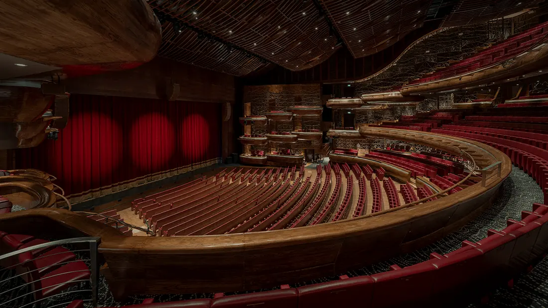
12. Dubai Opera
Cultural hub · Downtown Dubai · 25.1957° N, 55.2720° E
A 2,000-seat theatre in the shape of a dhow, home to opera, ballet, concerts and theatre. It opened in 2016 and is in its tenth season.
Good to know: Guided tours of the building are available.
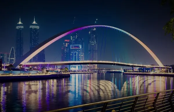
13. Dubai Water Canal
Waterway · Business Bay to Jumeirah · 25.1892° N, 55.2444° E
A 3.2-kilometre canal, opened in 2016, that carries the Creek through Business Bay to the sea. Walk or run along its banks, and cross the Tolerance Bridge when it is lit at night.
Good to know: The paths are free, and a water taxi runs along the canal.
Chapter III: The coast
Jumeirah, where the city meets the sea.
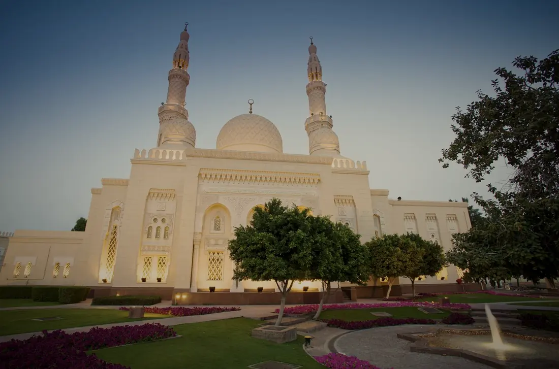
14. Jumeirah Mosque
Open doors · Jumeirah 1 · 25.2341° N, 55.2655° E
Built in the late 1970s in the medieval Fatimid style, the white stone mosque welcomes non-Muslim visitors on guided tours by the Sheikh Mohammed Centre for Cultural Understanding.
Good to know: Tours run Saturday to Thursday at 10am and 2pm; dress modestly, and women bring a headscarf.
15. J1 Beach, once La Mer
Beachfront · Jumeirah 1 · 25.2280° N, 55.2535° E
The beachfront that was La Mer has been rebuilt. Its southern end reopened as J1 Beach, with beach clubs and restaurants by the water.
Good to know: Book the beach clubs ahead, especially at weekends.
16. Jumeirah Beach
Public beach · Kite Beach, Umm Suqeim · 25.1630° N, 55.2067° E
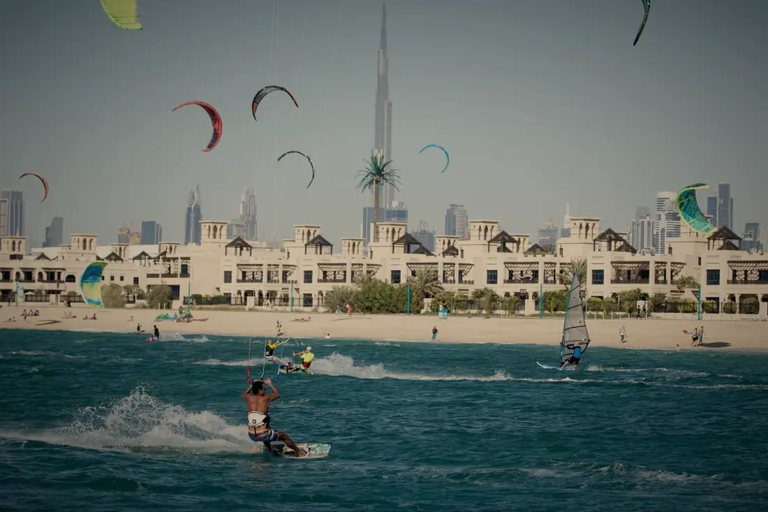
Soft white sand and clear water make Jumeirah’s public beaches the city’s favourite for swimming, sun and sport. At Kite Beach the sky fills with kites, with the Burj Khalifa on the horizon.
Good to know: Kite Beach is free, with swimming at night.
17. Burj Al Arab
Iconic hotel · Umm Suqeim · 25.1413° N, 55.1854° E
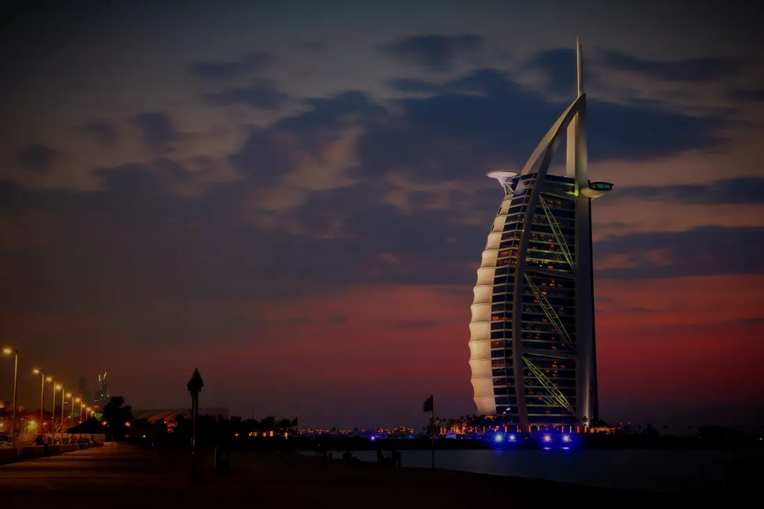
The sail-shaped hotel on its own island is the best-known silhouette on the coast.
Closed for now: Closed for an 18-month restoration from 2026, expected to reopen in October 2027. See it from Kite Beach or Souk Madinat.
18. Madinat Jumeirah
Arabian resort · Umm Suqeim · 25.1334° N, 55.1858° E
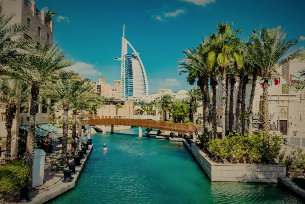
A resort built like an old Arabian town, with wind towers, waterways and Souk Madinat, where abras glide past the Burj Al Arab.
Good to know: Souk Madinat is open 10am to 11pm; 20-minute abra tours run on the waterways.
19. Ski Dubai
Indoor ski resort · Mall of the Emirates · 25.1174° N, 55.1981° E
Snow in the middle of the desert: inside the Mall of the Emirates, Ski Dubai has slopes for skiing and snowboarding, and snow play for everyone, all year round.
Good to know: Open every day from 10am (9am at weekends) until late.
Chapter IV: The islands
Land drawn on the water.
20. Palm Jumeirah
Engineering marvel · Palm Jumeirah · 25.1173° N, 55.1351° E
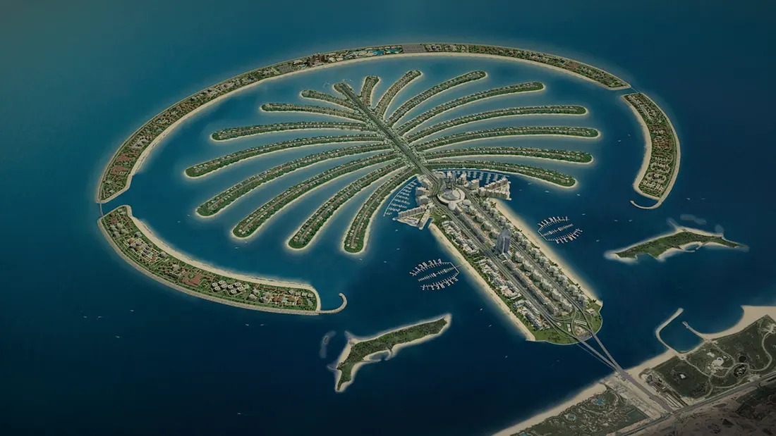
An island in the shape of a palm tree, built out into the sea and home to hotels, beach resorts and homes. Seen from above, it is Dubai’s most famous drawing.
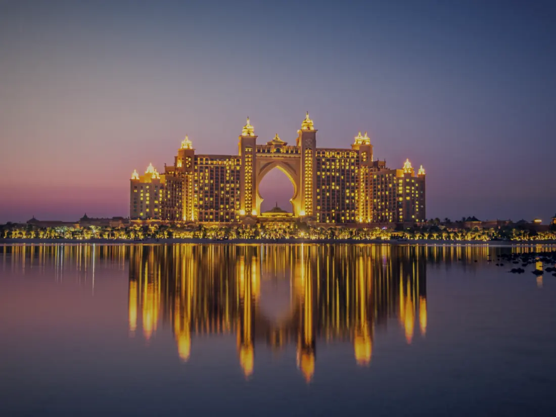
21. Atlantis, The Palm
Resort · The tip of the Palm · 25.1330° N, 55.1187° E
The resort at the far end of the Palm, home to Aquaventure World, with more than 100 slides, and the Lost World Aquarium, reopened in 2025.
Good to know: The Lost World Aquarium is open 11am to 8pm; book ahead for weekends.
22. Dubai Marina
Waterfront · Dubai Marina · 25.0856° N, 55.1476° E
Towers, yachts and a waterfront lined with cafés: the Marina Walk is made for slow strolls and dinner by the water.
Good to know: Marina Walk is free, and the tram and metro stop close by.
Chapter V: Beyond the city
Gardens and parks, and at the end of the road, the desert.
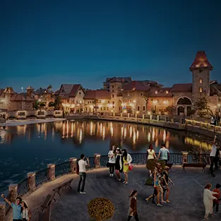
23. Dubai Parks and Resorts
Theme parks · Jebel Ali, off Sheikh Zayed Road · 24.9199° N, 55.0087° E
A cluster of theme parks near Jebel Ali: Motiongate, Real Madrid World and Legoland Dubai, with the Riverland dining district between them.
Reopening: Closed since March 2026; reopens on 7 October 2026.
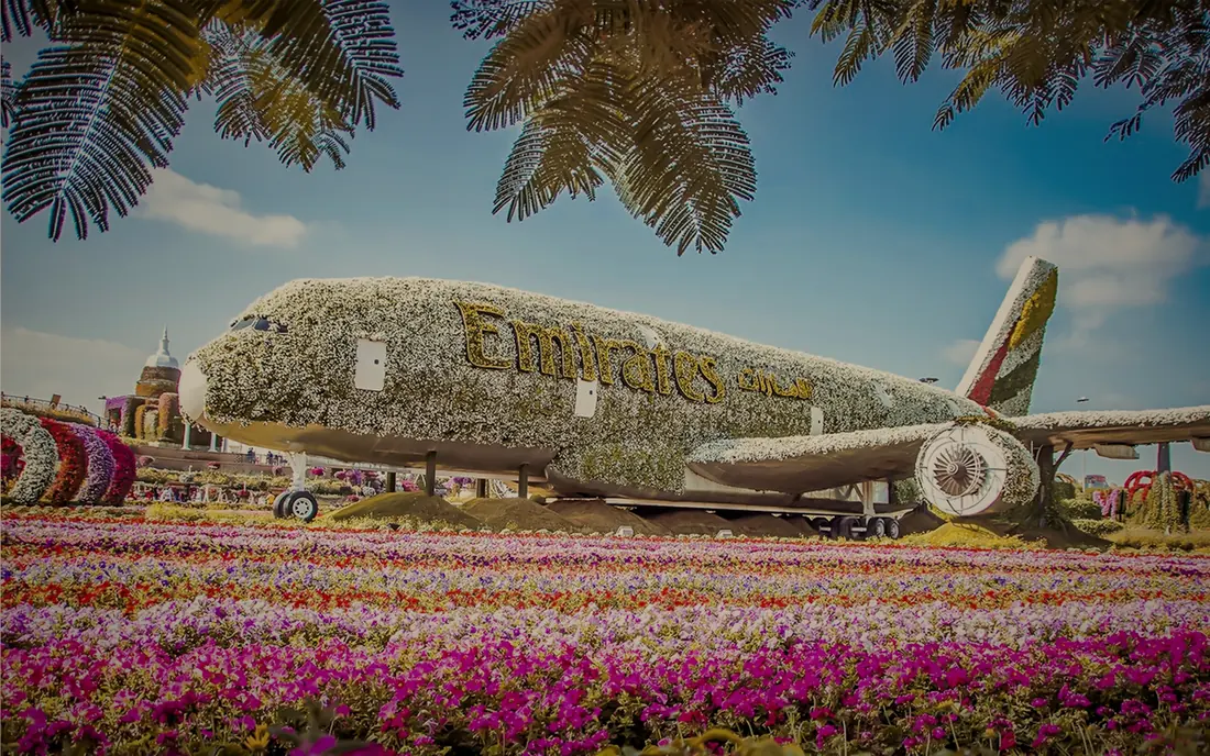
24. Dubai Miracle Garden
Floral paradise · Dubailand · 25.0597° N, 55.2446° E
Millions of flowers shaped into arches, castles and a life-size Emirates A380, in bloom each winter.
Seasonal: Open each year from October to May; Season 15 opens on 8 October 2026.
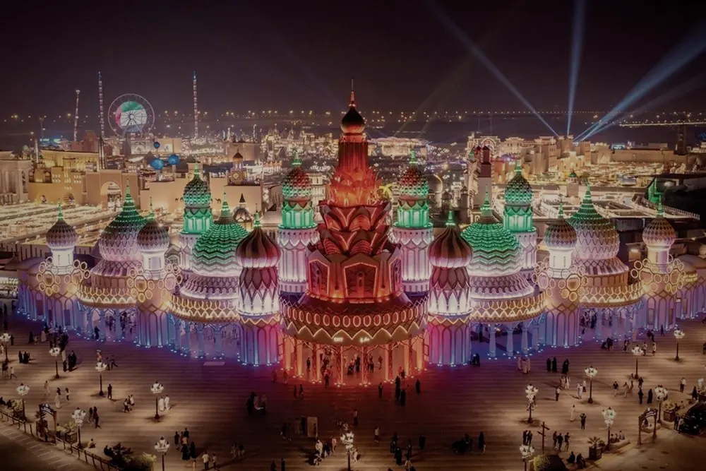
25. Global Village
The world in one park · Sheikh Mohammed bin Zayed Road · 25.0725° N, 55.3070° E
Every winter, pavilions from dozens of countries fill one park with food, crafts, shows and rides: a trip around the world in an evening.
Seasonal: Open from October to May; Season 31 opens on 14 October 2026.
Good to know: Open in the evenings from 4pm; parking is free.
26. Dubai Safari Park
Wildlife park · Al Warqa · 25.1793° N, 55.4516° E
More than 3,000 animals, from giraffes and lions to elephants, in habitats you visit on foot and by safari.
Seasonal: Seasonal; the new season opens on 12 October 2026.
27. The desert
Desert adventure · East of the city · 24.8621° N, 55.6465° E
The drive ends where the city does: dunes, camel rides and a Bedouin-style camp under the stars.
Good to know: The Dubai Desert Conservation Reserve can only be visited with licensed operators; sunset tours are the most popular.
How this guide was made
Facts checked on 30 September 2026 against the official sites and news reports listed below. Opening times and seasons change; check before you go.
Photographs: collected for the first edition of this guide in 2024; the opening view of Downtown at dusk is from Freepik. They are graded to match this page, nothing added or removed.
Map: land, coastline and roads from OpenStreetMap contributors; community lines from Dubai Municipality (Dubai Pulse open data). Places marked from OpenStreetMap.